A guide to Churches and Graveyards in Surrey for family historians
|
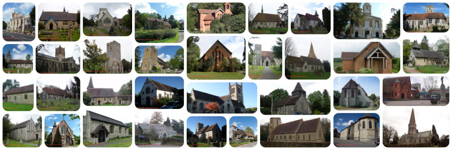
Betchworth Burial Ground is in the Ancient Parishan Ancient Parish is a Church of England parish which, until the 19th century, had both ecclesiastical and civil functions of St Michael, Betchworth.
Friends of Surrey Cemeteries (Surrey Cemeteries: a survey, 2012): The Walled Garden, The Street, Betchworth. Opened 1949. Visited 2009 a modern field behind houses but with footpath to church. Incongruous corrugated iron shed at one side, no plantings. Allotments on way in. Seats and rope fence separating path from burial area. SHC 3367/2/2-4 general accounts 1927-53. SHC 3367/1/1 minute book. SHC 3367/3/9-13 finances re extension. SHC 3367/3/14-16 notices of interment from 1949. – includes trade/relationship, grave depth and if purchased. Extension paperwork includes borrowing agreements with SCC (£700) & Min of Health (£500). Conveyance in 1943 of 2 roods. Agreement 13 Nov 1944 with John Gordon (Surbiton) Ltd for £498. 11/-6d. Fencing, gates, levelling and paths to be completed in 8 weeks. Betchworth Burial Ground is located in the Ancient Parishan Ancient Parish is a Church of England parish which, until the 19th century, had both ecclesiastical and civil functions of St Michael, Betchworth West Surrey Family History Society CD10(The Surrey Burial Index - 2nd edition 2009) has burial records for St Michael, Betchworth from 1653 from 1865. WSFHS CD15(Surrey Baptisms Not in the IGI) has baptismal records for St Michael, Betchworth from 1558 to 1840. See our sales page for more information (opens in a new page). Betchworth is a (civil) parisha Civil Parish is the bottom most tier of local government in England Sometimes called Town Councils in urban areas [NB Wales, Scotland and Northern Ireland have different systems of local government] in the Mole Valley district of Surrey
Unless otherwise stated the dates for the creation of parishes are taken from Youngs, Frederick. A., Guide to the Administrative Units of England; Royal Historical Society: London, 1979 volume 1 Southern England.
The Mole Valley Index will show you all the churches and cemeteries we know of in the Mole Valley DistrictA district council is a second tier local authority that provides services such as planning and building control, waste collection, environmental health and housing. Surrey County Council is a first tier local authority. Civil parish councils are the bottom tier of local government in England. If we have missed any or you are looking for a church or graveyard that might no longer exist do please let us know using the "contact us" link at the bottom of this page If you came to this page from our main index to churchyards If you came from the Mole Valley page use the button at the top of this page to close the page and go back to the Mole Valley index. |
LinksThe Parish Council map to find the Burial Groundhttps://www.betchworth-pc.gov.uk/wp-content/uploads/2018/08/finding-parish-burial-ground-betchworth.pdf (a new browser page will open, close it to see this page again) Parish Council Web site Wikipedia GEN UKI Page for Betchworth British History on-line contact us: https://surreychurches.org.uk/contact |
