A guide to Churches and Graveyards in Surrey for family historians
|
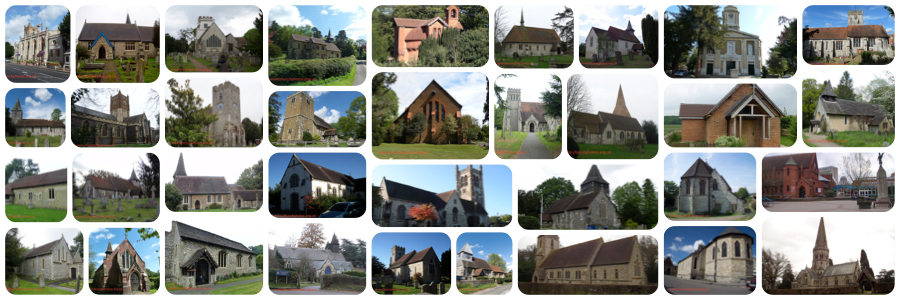
This timber framed, iron-clad mission room was built ca. 1889 as a Chapel of EaseA daughter church within an ecclesiastical Parish, or a chapel in an outlying area of the parish that is more convenient for parishioners to attend in the ecclesiastical parishan ecclesiastical parish is an administrative area within the Church of England or Roman Catholic church. It is distinct from the civil parish, a local government unit in England
of Croydon, St. Saviour.
It was used for worship until 1909 when it was replaced by the present ecclesiastical parishan ecclesiastical parish is an administrative area within the Church of England or Roman Catholic church. It is distinct from the civil parish, a local government unit in England church of Norbury & Thornton Heath, St Stephen. The mission church remained in use as a parish hall until superseded by a brick hall in 1928. (Information from Diocese of Southwark, Former Places of Worship or see link below) The ecclesiastical parishan ecclesiastical parish is an administrative area within the Church of England or Roman Catholic church. It is distinct from the civil parish, a local government unit in England of Croydon, Holy Saviour was originally part of Croydon Common St. James. There was no graveyard at the mission church nor at St. Saviour's church. However there are some 538 names in the Surrey Monumental Inscriptions Index for Croydon Common St. James dating from 1816 to 1882. They were collected in 1883 and published in "Croydon in the Past"
Search for any references to your ancestor in the Surrey Index of Names:
Croydon St. Saviour
https://www.wsfhs.co.uk/pages/sindex/siSearch.php (opens in new browser window) or use our contact form if you have a question not answered in the Surrey Index of Names or in our Frequently Asked Questions https://surreychurches.org.uk/contact West Surrey Family History Society WSFHS CD15(Surrey Baptisms Not in the IGI) has baptismal records for Croydon St. Saviour from 1867 to 1875. See our sales page for more information (opens in a new page). Croydon Common St. James West Surrey Family History Society CD10 (The Surrey Burial Index) has burial records for Croydon Common St. James from 1829 to 1852. WSFHS CD12 (Croydon Parish Registers to 1753 and Croydon Monumental Inscriptions to 1882) has Monumental Inscriptions for Croydon Common St. James from 1829 to 1869. WSFHS CD15(Surrey Baptisms Not in the IGI) has baptismal records for Croydon Common St. James from 1829 to 1876 with some to 1906. See the WSFHS sales page for more information (opens in a new page). The church is in the Church of England Diocese of Southwark. The Southwark Diocesan Record Office for churches and parishes in the modern administrative county of Surrey, and those London Boroughs that were in Surrey until 1965, is the Surrey History Centre. This is where you should find any surviving parish registers, The former St. Stephen's mission church was in the London Borough of Croydon.
Unless otherwise stated the dates for the creation of parishes are taken from Youngs, Frederick. A., jr.. Guide to the Administrative Units of England; Royal Historical Society: London, 1979 volume 1 Southern England.
The Croydon Index will show you all the churches and cemeteries we know of in the London Borough of Croydon. If we have missed any or you are looking for a church or graveyard that might no longer exist do please let us know using the email at the bottom of this page If you came to this page from our main index to churchyards If you came from the Croydon page use the button at the top of this page to close the page and go back to the Croydon index. |
LinksParish web siteWikipedia (Norbury) GEN UKI British History on-line (VCH) Diocese of Southwark former Places of Worship National Library of Scotland 25inch Ordnance Survey map contact us: https://surreychurches.org.uk/contact |
